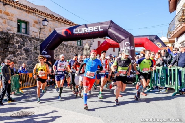
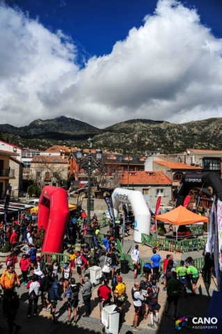
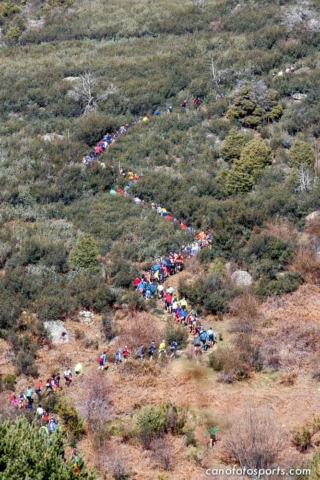
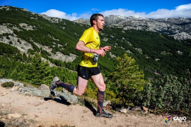
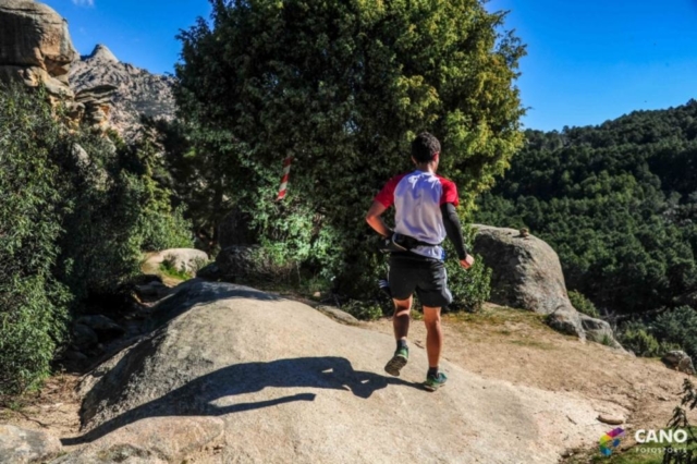
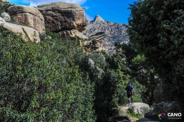
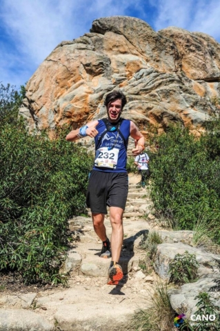
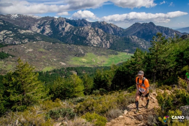
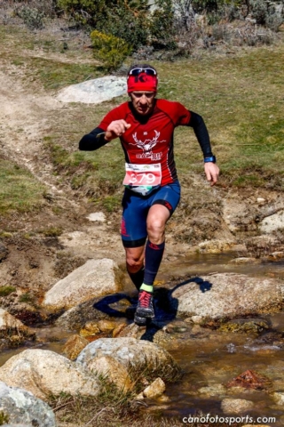
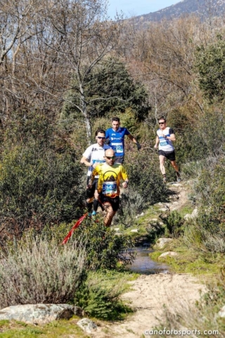
The Madrid Tactika Trail is a mountain race circuit consisting of 7 events, each of them leaving the traditional locations for this sport; a circuit of different races in different places, Torrelaguna, Mataelpino, San Agustín de Guadalix, Lozoyuela, Sierra del Rincón, La Cabrera, and Alcalá de Henares. The race allows runners to have a unique experience beyond the road: More than just running.
Because of its popular, demanding, and spectacular format, The Madrid Tactika Trail allows for both those who want to begin with the trail as well as those who are more experienced to participate. There are affordable races for all levels with two distances: 10-15 km and 20-25 km and with between 900 and 1,100 metres of positive gradient.
In this race, the most important thing is the athlete and to facilitate the possibility of having a one-of-a-kind experience. The Madrid Tactika Trail is professionally managed by athletes who know trail and with vast experience in organising sports events. Additionally, it is supported by the Mountain Climbing Federation of Madrid and the General Directorate of Sport of the Regional Community of Madrid.
Mountain Running is a specialised sport in which participants have to follow a path that passes through low, medium, and/or high mountains, either in summer or in winter, in the quickest possible time, and showing a great deal of respect towards the natural environment. The Madrid Tactika Trail is a mountain racing circuit in the Regional Community of Madrid organised by the Enphorma Mountain Club and Tactika Sports Culture.
There are two possible races in our town, each of them with a difference distance, and both ending in MATAELPINO. One is a short trail that’s 8.5 km, and the other a longer one of 20.5 km, both with a common section:
- LONG TOUR: circular tour of 20.5 km and with an approximate positive gradient of 1,300 metres and an overall gradient of 2,600 metres.
- SHORT TOUR: circular tour of 8.5 km and with an approximate positive gradient of 280 metres and an overall gradient of 560 metres.
OFFICIAL EVENT WEBSITE: http://tactikatrail.com/


